Avoid costly errors with precise 3D data capture
10 Projects Implemented

Features & Services
LiDAR Scanning
3D surveying with a LiDAR scanner is both efficient and highly accurate.
The scanner emits laser waves of light and measures the reflections to generate precise XYZ coordinates.
This process takes place millions of times per second, creating a detailed point cloud that digitally reflects the real world — a high-accuracy digital model of your area of interest.
Photogrammetry
Use photogrammetry to capture large areas in a simple and cost-effective way.
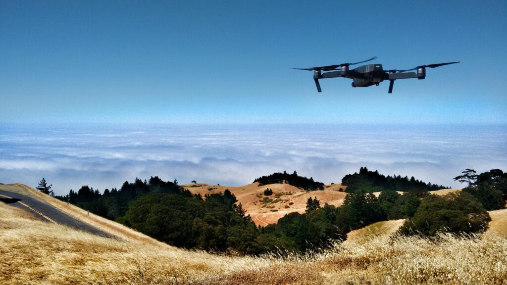
Drones are programmed to take thousands of photos from multiple angles and positions, which are then stitched together to create a 3D model. Captr3D’s drone is equipped with RTK (Real-Time Kinematic) technology, which corrects GPS deviations directly via satellite.
This can be a great standalone solution or used in combination with ground control points for even higher accuracy.
Visualisation
Looking to showcase a building, a site, or a model in a clear and compelling way?
We have experience with everything from 3D animations and high-resolution visualizations to virtual tours.
Together, we’ll find a solution that fits your needs – whether it’s for presentation, planning, or sales.
Consultation
We help you make use of 3D scanning and digital models in a way that fits the task at hand. Whether you’re mapping an area before construction, calculating volumes in an infrastructure project, documenting cultural heritage sites, or creating a digital twin of a building – we guide you through the entire process. You’ll get support for as long as you need it, and we adapt to your pace and your goals.


